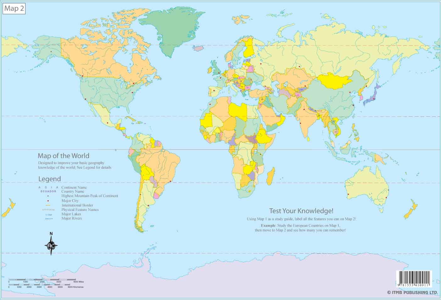
 World Educational Map set Laminated 13x8 Inches
1st Edition
| Scale | |
| ISBN | 9781553410911 |
| UPC | 815534109125 |
| $ CAD | $5.95 |
| $ USD | $5.95 |
| € EUR | 5.95E |
| £ GBP | 5.95 |
|
Buy this Map: |
|
This is a new format for us. We have published compact 13"x8" world map (33cm x 23cm) in two sheets - one with country names and some major cities on it with an identical companion sheet having the same artwork but no names on it. The purpose is to train young people (or anyone, for that matter) in where things are in the world. Map 1 is the study guide with place names; for example South Africa or Peru. Map 2 is the test map, which can be marked up by a student. This is a basic map, designed to improve geographical awareness. It is accurate and uses the same Miller projection as on our World Wall Map. It is available as well in paper (same ISBN) as a set for $2.95. The two mini-sheets are completely separate but sell as a set; however, they could be sold separately, as both fill another existing gap in the map world. They are so small that they would fit inside reports, although somewhat larger than the 8.5x11 page size commonly used in America and somewhat wider than the A$ size used in Europe. They also make useful place mats. Being laminated, they are almost impervious to destruction, but we still have to test it with our two-year-old grandson. If anyone can destroy it, he's the candidate!
Legend Includes:
Continent Name, Country Name, Highest Peak of Continent, Major City, International Border, Physical Feature Names, Major Lakes, Major Rivers and much more.


